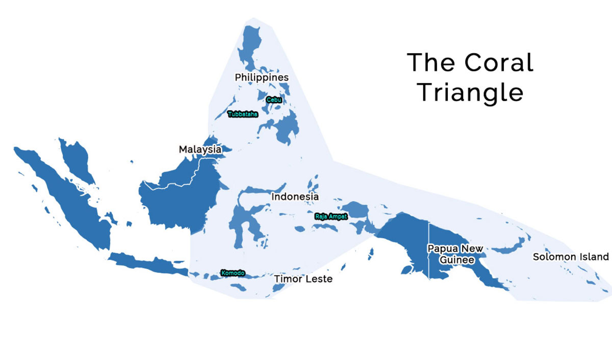
Located off the north-west tip of the Bird’s Head peninsula, in the island of New Guinea, in the province of West Papua of Indonesia, Raja Ampat, or the four kings, is an archipelago comprising over 1,500 small islands, inlets and shoals of sand surrounding the four main islands of Misool, Salawati, Batanta and Waigeo and the smaller island of Kofiau. The archipelago, straddling the equator, is 46.000 km2 wide and is located in the center of the Coral Triangle.
75% of the world’s coral species find their home in this park, which has the largest marine biodiversity on the planet.
The name of Raja Ampat (Raja means king, and ampat means four) comes from the local mythology about a woman who finds seven eggs. Four of the seven hatch and become kings occupying four of the largest islands of Raja Ampat, while the other three become a ghost, a woman and a stone.
Weather
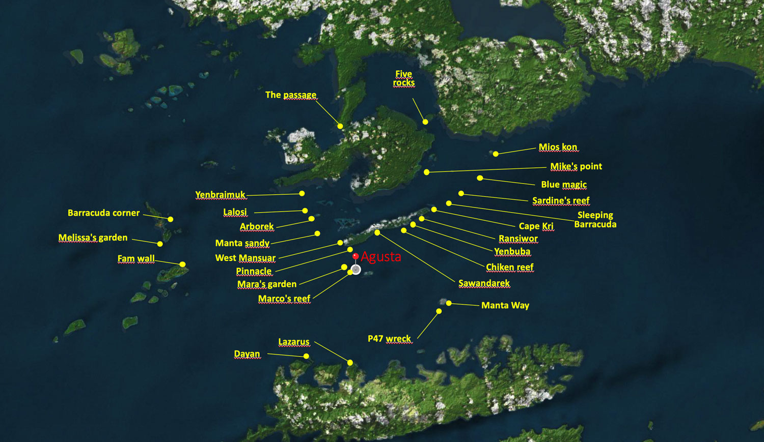
Agusta is located 70 km south of the equator and is well within the equatorial belt, therefore with a tropical climate. [point on the map]
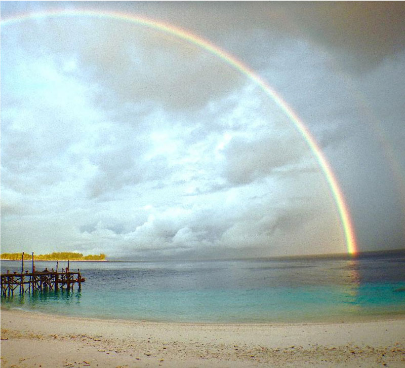
There are no thermal seasons in Raja Ampat. Sun, wind and waves can change every day throughout the year. This also applies to currents and underwater visibility, which is always excellent (> 30 meters).
Unlike many other regions of Indonesia, where the months between October and April usually bring much rain, Raja Ampat has no rainy seasons.
Precipitation and temperature
Rainfall is generally short and temperatures remain warm.
On an average day, we enjoy temperatures around 29 ° C and water temperatures remain around 28 – 29 ° C all year.